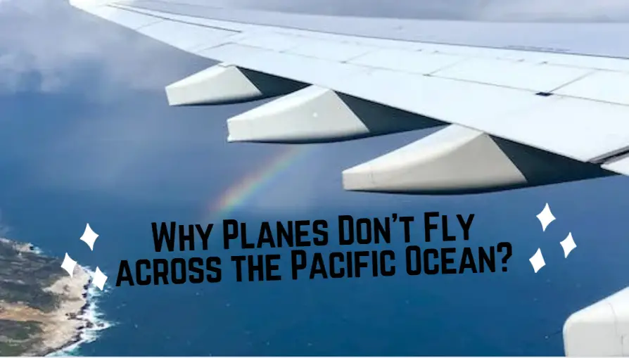
I need to take a vacation. Somewhere far away, ideally exotic, and thrilling must be waiting, but while arranging my Asian vacation, I discovered something peculiar. My jet looks to be making a detour over Alaska. Why is my airline making special arrangements to avoid the Pacific Ocean?
Is this an error? Did I sign up for the caribou route by mistake? At first glance, it may appear to be a safety concern. The Pacific is the world’s largest and deepest ocean. If a plane experiences trouble over a seemingly infinite and bottomless body of water, it will be difficult for the pilots to locate a safe landing location. Alaska may not have an abundance of international airports, but it is a vast improvement over the middle of the ocean.
Alaska is at least preferable to sinking
Speculating that it was a safety measure would not be altogether incorrect. While selecting a route, many pilots prefer to include as many airports as possible. Compared to the number of planes that fly each day, emergencies are quite infrequent. But, I cannot imagine of anything more worrisome than losing an engine at 30,000 feet over the Pacific Ocean.
This is not the primary reason airlines avoid direct flights from east to west. Eventually, the objective is to conserve fuel and time. It is simple to forget that airlines are businesses. A company whose profits depend on how fast and affordably it can transport passengers from one location to another. Passengers also desire to reach their next destination as rapidly as possible, so airlines and passengers both benefit.
To make a long story short, which is not my forte, speed is typically the most important component in deciding the flight path of an aircraft. Barring exceptional conditions such as traveling through jet streams or other meteorological problems, the quickest route is nearly always the one that is closest to a straight line. The flight route, however, is anything from a straight line. Indeed, if you examine it on a flat map. But our earth is no longer flat.
As we are accustomed to viewing our world in a two-dimensional plane, it can be perplexing. Unless you pull out a globe every time you need to locate a city or nation, you undoubtedly use a world map. On a 2D map, avoiding the Pacific Ocean by drawing a large rainbow appears to be a significantly longer journey.
Since the Earth is a sphere, a straight line in three-dimensional places will appear significantly differently. I just stated that the majority of us use Google maps. I will attach one end of a thread to Los Angeles and the other end of the string to Tokyo. When I pull it tight, you will observe that the string is not perfectly parallel to the latitude lines on the globe. Instead, it will bend slightly upwards as it follows the curvature of the miniature Earth. In actuality, this impact is even more evident because my globe is not an exact replica of the genuine thing.
In actuality, the issue is that it’s too flawless. The Earth, unlike a globe, is not a perfect spherical. Similar to me after the holidays, our planet has a slightly enlarged core. While seeing photographs shot from space, the difference is insignificant. It is easy to lose track of a few hundred miles here and there on such a vast planet.
If you could use a large string to measure the circumference of the Earth through the poles, you would need 24,860 miles of string. At the equator, though, the distance would increase to 24,900 miles. This is due to the planet’s rotation on its axis.
When you were younger, did you ever ride the playground merry-go-round very quickly? Remember feeling like you were going to be thrown to the sides? As the Earth spins, a similar phenomenon occurs in its midsection; the force causes it to bulge outward. It spins quickly enough to accomplish that. Those tuning in from the equator are currently traveling at about 1,000 miles per hour. This 40-mile difference in the width of the Earth may not seem like much. But when it comes to the surface area of an entire planet, a small increase in circumference can have a significant impact.
The combination of these two considerations, the Earth’s curvature and its greater equatorial width, means that curving toward the poles is shorter than flying “straight” across. This in no way implies that aircraft never traverse the Pacific Ocean. Individuals must find their way to Australia. Nonetheless, aircraft will also fly over open sea to avoid storms. While some types of extreme weather, such as hurricanes and tropical storms, are surmountable by aircraft, seemingly ordinary thunderstorms are surprisingly difficult.
With clouds reaching heights of above 60,000 feet, it is urged that aircraft avoid flying through or over them. Modern aircraft are rarely brought down by severe weather, but severe turbulence can injure passengers and crew as they (and their belongings) are flung around the cabin. Oceanic travel is sometimes undertaken by aircraft to take advantage of the smoother journey. Even in clear weather, there is far less turbulence over water compared to land. This is because heated air rising from the ground is the primary source of turbulence.
Water disperses heat far better than soil, thus flights over the ocean are typically much more comfortable. Air currents, specifically jet streams, are an additional important factor in determining flight routes. These high-altitude air currents exist near the tropopause’s uppermost layer. This is the layer of the Earth’s atmosphere where the majority of weather happens. The boundary between the troposphere and the stratosphere is referred to as the tropopause. Its altitude varies between 4 and 12 miles above the surface of the Earth. This variation causes fast changes in air temperature and pressure, which creates a wind tunnel capable of exceeding 200 miles per hour.
Normal wind speeds of 80 to 140 mph are nothing to scoff at. Extreme wind speeds are more common in winter, when the temperature differential is largest, but wind speeds of 80 to 140 mph are nothing to scoff at. There are four main jet streams, two in each hemisphere, and due to the rotation of the Earth, they move predominantly west to east. The polar jet stream, which occurs around the arctic circle, and the subtropical jet stream, which forms near the equator, are the two most important jet streams for air movement.
While being a few miles wide, both are thousands of kilometers in length. Flying with a jet stream can save travel time by many hours, whereas flying into it can significantly slow the plane down. It is equally important to note the dangers posed by jet streams. Clear-air turbulence, which occurs near the borders of the streams, poses the greatest threat.
This type of turbulence is nearly impossible to forecast and considerably more powerful than typical. Accidents caused by turbulence are uncommon, yet they are possible. After encountering a pocket of clear-air turbulence, a plane traveling from Tokyo to Honolulu suddenly descended in 1997. The pilots were able to restore control of the aircraft, although many passengers were violently tossed from their seats by the abrupt drop. With this risk in mind, flight plans must be meticulously designed to take advantage of jet streams without endangering the aircraft.
Understanding why planes take the routes they do often requires data that we do not typically consider on a daily basis. The jet stream primarily affects objects tens of thousands of feet in the air, and the Earth’s curvature is irrelevant until you’re traveling at hundreds of miles per hour over vast distances.
FAQ
What countries do planes not fly over?
For safety and geopolitical concerns, commercial aircraft usually steer clear of certain parts of the globe. Conflict zones and areas with strong political tensions are among these locales. Examples include specific regions in the Middle East, like portions of Syria and Iraq, and parts of Ukraine impacted by the conflict with Russia and North Korea. In addition, there have been conflicts or unstable situations in certain nations, such as Afghanistan and Libya, which has forced airlines to change their flight routes in order to reduce risk. Aviation authorities and airlines keep a careful eye on international security circumstances and issue cautions or limitations on flights as needed. It’s crucial to remember that these circumstances are subject to change, and airlines frequently modify their itineraries in response to evolving safety concerns and geopolitical scenarios.
Why don’t we fly over Pacific?
Commercial flights frequently cross the Pacific Ocean, despite the popular belief that aircraft do not fly over it. In actuality, a number of long-haul flights across the wide Pacific Ocean to link North America and Asia. The vastness of the Pacific Ocean plus the fact that planes usually fly on pre-established routes that maximize safety and fuel economy could be the cause of the misunderstanding. The flight’s origin and destination, the direction of the wind, and air traffic control regulations all influence the path that is selected. Airline routes are meticulously planned to provide the most cheap and direct flights. planes over the Pacific continue to be a regular and vital component of international air travel, even though certain planes may follow trajectories over the Arctic for specific routes between North America and Asia.
What oceans do planes not fly over?
All of the world’s major oceans—the Atlantic, Pacific, Indian, Southern, and Arctic—are often crossed by commercial aircraft. The most effective flight paths, air traffic control concerns, wind patterns, departure and destination locations, and other variables all have an impact on the precise routes that aircraft travel. Although aircraft don’t avoid flying over seas, there are parts of the ocean where flight paths may be less common owing to a lack of airports and infrastructure, especially in isolated places or those vulnerable to extreme weather. In addition, for security and safety purposes, certain military zones or restricted areas in the water may be avoided. Generally, over the vast expanse of Earth’s oceans, airlines and aviation authorities meticulously arrange flight routes to maximize efficiency, safety, and passenger comfort.
Are planes safe over ocean?
Yes, transoceanic flights are widely thought to be safe due to the use of contemporary aviation procedures and technologies. Modern navigation systems, communication devices, and redundant safety features are standard on commercial airplanes. To guarantee the safety of flights over oceans, aviation authorities set tight rules and enforce stringent training programs for pilots. Additionally, twin-engine aircraft that satisfy strict safety standards for prolonged overwater operations are usually used for long-haul flights over water. Airlines have backup plans and equipment, such life rafts and life vests, in case of emergency situations, which are rare but can happen, such as engine breakdowns or diversions. Because to the aviation industry’s constant investments in safety enhancements and procedures, flying over the ocean is now a common and secure part of international air travel.
What is the longest flight in the world?
Singapore Airlines Flight SQ22 holds the record for being the world’s longest commercial flight. This ultra-long-haul flight operates between Singapore Changi Airport (SIN) and Newark Liberty International Airport (EWR) in the United States. Its approximate distance traveled is 9,534 miles (15,344 kilometers). The Airbus A350-900ULR (Ultra Long Range) is the aircraft used for this trip, and the average travel time is approximately eighteen hours and thirty minutes. It’s important to remember that long-haul flight routes are subject to change, and as airlines add novel routes and technological advancements, records may be broken. These ultra-long-haul flights are popular among travelers looking for the ultimate non-stop experience. They offer advantages and disadvantages to passengers who must endure long journeys.
![]()