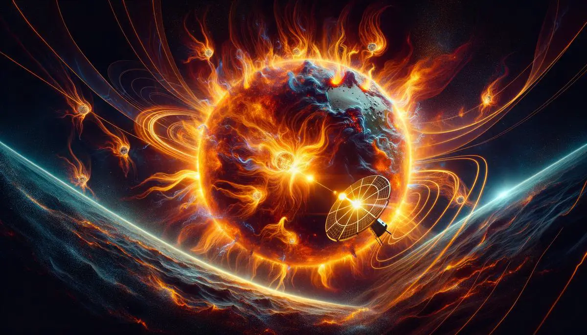
Understanding Solar Flares
Solar flares are explosive events triggered by the sudden release of magnetic energy in the solar atmosphere. They produce bursts of radiation spanning the electromagnetic spectrum, from radio waves to gamma rays. The classification of solar flares is based on their x-ray brightness, ranging from Class A (weakest) to Class X (most powerful). X-class flares are notorious for their intensity and potential to affect space and Earth-based technologies.
The frequency of solar flares follows a pattern, peaking approximately every 11 years during the Solar Maximum. During this period, the chances of observing an X-class flare increase significantly. These flares not only produce spectacular light shows but also impact Earth, particularly through their interactions with the ionospheric layer. This can disrupt radio transmissions and sophisticated systems like Global Positioning Systems (GPS).
Violent solar flares can eject increased levels of plasma, known as Coronal Mass Ejections (CMEs). When these charged particles collide with Earth's magnetic field, they can severely disturb the ionosphere, where GPS signals must traverse, resulting in delayed signal transmission and impaired GPS accuracy.
As our reliance on technology deepens, understanding solar phenomena is crucial for protecting the technologies modern society relies on and the numerous satellites orbiting our planet. Continual monitoring and advancements in predictive methodologies are key in mitigating the impacts of solar flares.
Impact of Solar Flares on the Ionosphere
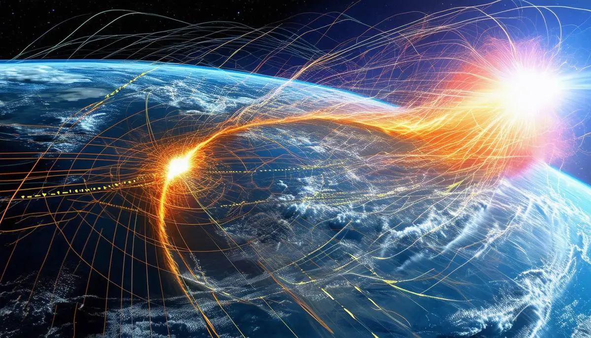
The ionosphere, a crucial layer of Earth's upper atmosphere, plays a vital role in the propagation of radio waves and the functioning of satellite communications, including GPS systems. When a solar flare occurs, it emits X-rays and extreme ultraviolet (EUV) radiation that can reach Earth within 8 minutes, energizing electrons in the ionosphere and increasing its density, particularly in the D and E layers.
This sudden increase in electron density can create excess electrical conductivity, resulting in an 'ionospheric storm'. During such storms, the additional energized particles scatter incoming GPS signals rather than allowing them to pass cleanly through to satellites and, subsequently, to Earth-bound receivers. This scattering interferes with the accuracy of GPS measurements, leading to potential errors in navigation and timing systems.
The changes in the ionosphere's composition due to this interaction affect transmission clarity and cause longer-lasting effects known as ionospheric anomalies. These anomalies can degrade the reliability of satellite-to-ground communications for hours, or even days, post-flare. Advanced technologies such as dual-frequency GPS receivers have been developed to correct some of these disturbances, but they have their limits, especially during severe solar events.
Continued progress in space weather forecasting and technological innovations in satellite communications are essential to safeguarding these critical systems against the capricious nature of solar activity.
GPS Technology and Ionospheric Interference
GPS technology operates by transmitting signals between satellites in space and receivers on Earth. Each satellite continuously sends out signals that include its location and the exact time the signal was transmitted. GPS receivers calculate their precise location by measuring the time delay for the signals from multiple satellites to reach them.
When solar flares occur, the intense X-rays and ultraviolet radiation emitted can greatly increase the electron density of the ionosphere. This enhancement of density varies the refractive index of the ionosphere, resulting in altered paths for the GPS signals as they travel from satellites to earth. The phenomenon, known as ionospheric scintillation, causes fluctuations in the amplitude and phase of GPS signals, leading to inaccuracies in the time delay measurements made by GPS receivers.
The distortion introduced by the denser ionosphere can result in errors in calculating positions, potentially misplacing the receiver by meters or more. Such discrepancies are critical in applications requiring high precision, such as aviation navigation and military operations.
Another significant impact of ionospheric disturbances during solar flares is on signal availability:- In extreme cases, the signals may fail to penetrate the ionosphere or could be deflected off into space, resulting in loss of signal reception or GPS outages.
- These issues are particularly pronounced during severe solar events, like those associated with major flares or CMEs which profoundly energize the ionosphere.
Various methods are employed to mitigate these effects in critical applications. Dual-frequency GPS receivers calculate position by using two distinct GPS signals transmitted at different frequencies. Since each frequency interacts with electrons in the ionosphere slightly differently, comparing the two signals can help correct errors caused by ionospheric interference.
Advances in space weather forecasting also play a vital role. By predicatively modeling solar activities and their impacts on the ionosphere, GPS-dependent operations can be pre-warned about potential disruptions, allowing for timely adjustments in operations.
As solar science advances and our understanding of celestial influences expands, we continue to improve the resilience of GPS systems against the whims of solar weather, ensuring that society remains reliably connected and accurately guided through its technological endeavors.
Modeling and Mitigating GPS Disruptions
Ionospheric modeling is a core facet of understanding and predicting the disturbances that impact GPS signals. Several models, such as the Klobuchar model and the Global Ionospheric Map (GIM), are used by scientists and technologists worldwide to predict ionospheric conditions and mitigate their effects on GPS signals.1,2
The Klobuchar model, implemented in GPS receivers, uses a simple mathematical formulation to estimate and correct the ionospheric delay, accounting for approximately 50% of the delay inaccuracies under normal conditions. GIM provides more detailed Total Electron Content (TEC) data from a network of international GNSS stations, which is integral for dual-frequency GPS receivers to effectively correct signal distortions.
However, these methodologies face limitations during severe solar events. The simplicity of the Klobuchar model becomes a disadvantage during irregular solar outbreaks, as it does not account for the rapid changes in ionospheric conditions caused by intense solar radiation. Even high-resolution models like GIM can only mitigate but not eliminate errors during dynamic conditions, as they rely on extrapolating conditions that rapidly evolve before they can be accurately measured and analyzed.
Ongoing research in space weather forecasting and ionospheric science focuses on improving the resilience of GPS systems against such disruptions. Initiatives like the development of real-time ionospheric monitoring systems and the incorporation of AI and machine learning into predictive modeling hold promise.3 These systems leverage vast amounts of data from ground stations and satellites to train algorithms that can predict and adjust to changes in ionospheric electron density before they impact GPS communications.
Recent studies using machine learning models have demonstrated potential in predicting ionospheric conditions from past solar event data, offering new avenues to enhance real-time responsiveness of the existing models.4 These adaptive models can foresee problematic variations in ionosphere densities and suggest instant adjustments to GPS satellites and receivers for maintaining accuracy under fluctuating space weather conditions.
However, while technological advancements unfold, perfect prediction and compensation for solar disruption effects on GPS are still far-fetched expectations. A multifaceted approach incorporating multidisciplinary research and technological innovation will pave the way for more resilient critical infrastructures.
The future of GPS accuracy during solar events lies in continually advancing these models in step with our evolving understanding of solar phenomena and space weather impacts.
Case Studies of GPS Disruption
Significant GPS disruptions due to solar flares have manifested several times historically, providing the scientific community with crucial data to elucidate the links between solar activity and terrestrial technology malfunctions. These instances emphasize the vulnerabilities of space-based systems and underscore the shared responsibility among technological and regulatory bodies to bolster system resilience.
One notable case occurred during the Halloween Storms of October-November 2003. A series of X-class flares erupted from the sun, culminating in substantial geomagnetic storms on Earth.5 The ionospheric disturbances caused by these flares resulted in significant GPS disruptions across various sectors. For instance, Wide Area Augmentation System (WAAS) signals used for flight navigation encountered severe degradation, causing many airlines to revert to non-satellite-based navigational approaches.
Another impactful event unfolded in December 2006 when an X9-class solar flare interrupted GPS signals extensively. The flare produced a radio blackout that affected communication for nearly an hour and interfered with GPS receptions widely for minutes.6 Various sectors from emergency services to financial markets reported anomalies, highlighting the cascade of disruptions that can result from compromised GPS reliability.
Regulatory reactions following these events led to the development of more robust communication protocols between space weather forecast centers and GPS-dependent operational frameworks. These enhanced procedures highlight the proactive stance taken by regulatory bodies to integrate space weather considerations further into operational protocols for critical infrastructures.
In response to widespread recognition of such vulnerabilities, special attention has turned towards enhancing the robustness of GPS technologies. The introduction of multi-constellation Global Navigation Satellite Systems (GNSSs), which utilize signals from multiple satellite systems, offers improved resistance to solar interference. Integration of advanced space weather monitoring satellites provides better predictive capabilities and real-time warning systems, crucial for closing the gap between space weather onset and corresponding system adjustments in technology-utilizing sectors.
Amplified investments in education and training programs for stakeholders across critical sectors have ensured that personnel have the necessary skill sets and tools to predict, identify, and mitigate potential disruptions. These programs are instrumental in ensuring sectors such as aviation, defense, and critical emergency serves can adapt swiftly to GPS reliability issues during solar events.
The analysis from these case studies exemplifies the broad ramifications of such disruptions across various sectors and elucidates the multi-layered approach necessary—from grassroots technological enhancement to high-level policy formulation—to safeguard our systems against the unpredictable nature of solar activities. As our reliance on precision-based technologies continues to escalate, understanding and preparing for their vulnerabilities in the face of solar disturbances will undoubtedly be critical in ensuring a resilient technological ecosystem.
The profound impact of solar flares on GPS technology underscores the critical need for enhanced predictive models and robust technological solutions. By advancing our understanding and improving our response strategies, we can safeguard essential systems against the unpredictable nature of solar activities, ensuring reliability and precision in our increasingly interconnected world.
- Klobuchar JA. Ionospheric Time-Delay Algorithm for Single-Frequency GPS Users. IEEE Transactions on Aerospace and Electronic Systems. 1987;AES-23(3):325-331.
- Hernández-Pajares M, Juan JM, Sanz J, et al. The IGS VTEC maps: a reliable source of ionospheric information since 1998. Journal of Geodesy. 2009;83(3):263-275.
- Habarulema JB, Katamzi ZT, McKinnell LA. Estimating the propagation characteristics of Large-Scale Traveling Ionospheric Disturbances using ground-based and satellite data. Journal of Geophysical Research: Space Physics. 2013;118(12):7768-7782.
- Boulch A, Cherrier N, Castaings T. Ionospheric activity prediction using convolutional recurrent neural networks. arXiv preprint arXiv:1810.13273. 2018.
- Tsurutani BT, Verkhoglyadova OP, Mannucci AJ, et al. Prompt penetration electric fields (PPEFs) and their ionospheric effects during the great magnetic storm of 30–31 October 2003. Journal of Geophysical Research: Space Physics. 2008;113(A5).
- Cerruti AP, Kintner PM, Gary DE, Mannucci AJ, Meyer RF, Doherty P, Coster AJ. Effect of intense December 2006 solar radio bursts on GPS receivers. Space Weather. 2008;6(10).
![]()