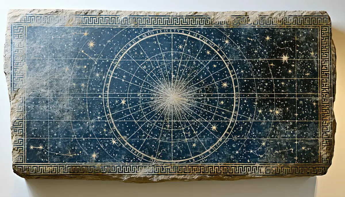
Understanding Star Maps
Star maps have served as celestial guides for generations, helping humanity navigate the night sky and trace historical paths. These diagrams detail the stars and constellations visible at particular moments, like snapshots of the heavens. The ancient Greeks were among the first to formalize this process, establishing models and names still used in today's maps.
From stone tablets to digital screens, star maps have evolved over centuries. Early civilizations used these sky charts to align structures and track seasons. Today, advanced technology offers digital versions accessible via smartphone, bringing the cosmos to our fingertips.
Reading star maps involves interpreting dots and lines that plot celestial coordinates. Brighter stars appear as larger dots, mimicking their appearance to the naked eye. While initially challenging, learning to read star maps is akin to acquiring a new language of patterns and constellations.
A planisphere is a round chart that, when rotated to a specific date and time, reveals the night sky's configuration. While simpler than modern apps, these analog versions preserve the tactile aspect of astronomy for all ages.
Star maps also serve as portals to the grand dance of cosmic bodies. Digital maps now display real-time positions of stars, planets, and even passing asteroids. Traditional paper-based versions, however, still hold value as historical records.
To use a star map effectively:
- Orient it to the cardinal directions
- Match it with the sky above
- Familiarize yourself with anchor constellations like Orion's Belt to unlock deeper exploration
These celestial charts offer both scientific insight and personal discovery. Whether tracking constellations of your birth month or tracing a famous comet's path, star maps transform astronomy into a journey of personal significance.

How to Read and Use a Star Map
Using a star map to explore the celestial sphere requires practice but can be a rewarding experience. Begin by familiarizing yourself with the cardinal directions: North, South, East, and West. These earthly anchors are crucial for applying the map accurately to the night sky.
Next, locate the map's ecliptic line. This imaginary celestial highway charts the sun's apparent path and serves as a guidepost for identifying major constellations and planets. Aligning your map with this line helps predict where planets may appear and locate zodiac constellations.
Start with familiar constellations, using them as celestial signposts to navigate to less obvious nearby formations. Orion's Belt, for instance, serves as a distinctive marker in the night sky.
Recognize the map's magnitude scale, which indicates star brightness. Stars with a lower magnitude appear brighter, serving as night guides. This brightness chart helps distinguish major stars, bringing clarity to the multitude of celestial objects.
Using a star map requires patience and practice. Whether displayed on a screen or printed on card, these maps are essential tools for unlocking celestial secrets and deepening our connection to the cosmos.

Photo by ashimayed on Unsplash
Choosing the Right Star Map Tools
Selecting appropriate tools for stargazing depends on your level of experience and interests. Let's examine various star map tools designed for different preferences:
- Planispheres: These classic, manually-operated devices allow you to align the date and time to display visible constellations. Durable and portable, planispheres like the Sky & Telescope Star Wheel and Orion Star Target Planisphere are ideal for those who prefer tangible tools.
- Mobile Apps: For tech enthusiasts, apps like SkySafari 7 Pro and Stellarium Mobile Plus offer real-time data on celestial bodies, often with augmented reality features. They turn outdoor ventures into interactive experiences but may have a learning curve.
- Physical Star Charts: Options like the National Geographic Star Atlas or Collins Atlas of the Night Sky provide comprehensive, beautifully crafted charts. These are perfect for leisurely exploration and offer a holistic approach to understanding the cosmos.
Your choice depends on your preferred style of stargazing: tactile, digital, or traditional. Each tool has unique strengths, and combining them can yield satisfying results. Experiment with various options to discover what aligns best with your personal stargazing pursuits.

Star maps offer a gateway to understanding our place in the universe, bridging the gap between celestial wonders and personal discovery. As you chart your course through the night sky, remember that each constellation is a chapter in an ongoing cosmic story, inviting you to connect with both ancient traditions and modern insights.
- Burnham R, Dyer A, Kanipe J. Astronomy: The Definitive Guide. London: Dorling Kindersley; 2003.
- Consolmagno GJ, Davis DM. Turn Left at Orion: Hundreds of Night Sky Objects to See in a Home Telescope – and How to Find Them. 3rd ed. Cambridge: Cambridge University Press; 2000.
- Seronik G. Binocular Highlights: 99 Celestial Sights for Binocular Users. Cambridge: Sky Publishing; 2007.
- Tirion W, Rappaport B, Remaklus W. Uranometria 2000.0. Richmond: Willmann-Bell; 2001.
![]()
