NASA's Earth Observing Missions
NASA's journey into understanding Earth's atmosphere began with the launch of TIROS, the first meteorological satellite, in 1960. This milestone marked the dawn of a new era, offering unprecedented insights into weather patterns through orbiting eyes. Subsequent satellites like ESSA and ATS expanded these capabilities, contributing to more accurate weather forecasting and early climate studies.
The launch of Terra in 1999 set the stage for a new class of Earth-observing missions, providing extensive data on Earth's land, oceans, and atmosphere. Aqua (2002) enriched this knowledge, focusing on the water cycle, while GPM (2014) provided precise measurements of global precipitation, aiding in weather prediction and water resource management.
Aura, launched in 2004, targeted atmospheric chemistry, monitoring ozone, air quality, and greenhouse gases. Its detailed mapping of the ozone layer offered insights into recovery trends following regulated reductions of chlorofluorocarbon emissions.
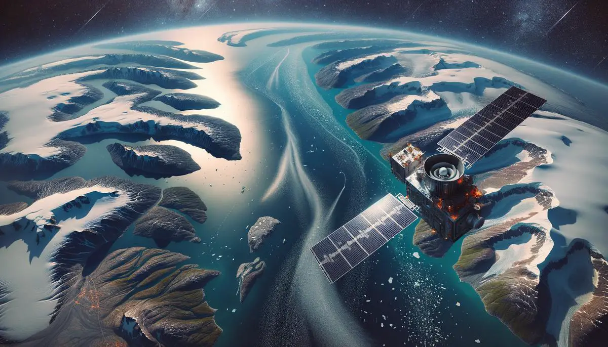
The Surface Water and Ocean Topography (SWOT) satellite, launched in December 2022, uses its Ka-band Radar Interferometer to analyze water bodies with unprecedented detail. Its role in measuring water dynamics in events like the Greenland fjord tsunami demonstrates how cutting-edge technology enhances our understanding of large-scale water movements.
NASA's commitment to advancing Earth science is evident in its selection of four new mission proposals under the Earth System Explorers Program. These initiatives aim to deepen understanding of key areas such as:
- Greenhouse gases
- The ozone layer
- Ocean surface currents
- Changes in ice and glaciers
The STRIVE mission, for example, promises high-resolution temperature and atmospheric data from the stratosphere and troposphere.
From early satellites like GEOSAT in 1985 to the current suite of missions, NASA has continuously advanced our planetary knowledge. By observing Earth from space, each mission adds a vital piece to the puzzle, reflecting the dynamic and interconnected systems on our planet.
Recent Advancements and Discoveries
NASA's recent advancements in Earth observation continue to reveal remarkable insights into climate and environmental changes. The Surface Water and Ocean Topography (SWOT) mission has detected and monitored a rare tsunami event within Greenland's Dickson Fjord, illustrating its capability to measure subtle water dynamics within confined spaces. This precise data offers new perspectives on water-related hazards and contributes to effective disaster preparedness strategies.
The Earth Surface Mineral Dust Source Investigation (EMIT) collects vital data on mineral dust and its impact on global climate. By accurately tracking these aerosols, EMIT helps clarify the intricate interactions between the atmosphere and Earth's surface, advancing our comprehension of their role in climate systems.
NASA's atmospheric monitoring through diverse missions, including the Science Activation (SciAct) Program and Aura, contributes to a more comprehensive understanding of atmospheric composition and its changes. Detailed measurements of greenhouse gases, ozone levels, and trace gases support efforts to track air quality and evaluate the long-term effects of both natural and anthropogenic activities on the atmosphere.
These missions embody NASA's dedication to translating complex scientific data into actionable knowledge about Earth's dynamic systems. Through continuous innovation and collaboration, these advancements support scientific research and inform policy decisions, fostering a greater understanding of the planet's changing climate and environment.

Impact on Climate Science
NASA's Earth observation missions have laid a foundational bedrock for climate science, delivering indispensable data that informs both scientific inquiry and policy frameworks. Satellites like Terra, Aqua, and SWOT have gathered comprehensive datasets that significantly improve global climate models, enhancing the accuracy and reliability of climate predictions.
Collaborations with projects such as the Carbon Investigation (Carbon-I) are vital in understanding the distribution and concentration of critical gases like carbon dioxide and methane. These precise measurements help scientists map sources of emissions and analyze their implications on global warming trends, empowering researchers to refine climate models and ensure more informed projections of future climate scenarios.
NASA's satellite missions also directly influence environmental policy development. High-precision data on ozone recovery, air quality, and atmospheric dynamics inform international regulatory frameworks aimed at reducing emissions and protecting human health. Insights from missions like Aura and STRIVE are crucial in supporting policy measures, enabling governments to make data-driven decisions on pollution control and sustainability efforts.
The synthesis of these satellite observations offers clarity on complex climate phenomena such as:
- Sea level rise
- Glacial melting
- Extreme weather events
By integrating findings from missions like SWOT that provide precise ocean and freshwater dynamics, policymakers are equipped with the information necessary to prepare for and mitigate the impacts of these changes.
NASA's Earth System Explorers Program seeks to bridge gaps in our understanding of the planet's intricately linked systems. By investing in innovative missions focused on key observables, NASA ensures a steady flow of valuable insights that continue to shape climate science discourse and aid in the development of pragmatic environmental policies addressing climate change challenges.

NASA's commitment to Earth observation has fundamentally transformed our understanding of climate science. By continuously monitoring and analyzing Earth's systems, NASA provides invaluable data that shapes scientific research and informs policy decisions. This ongoing dedication advances our knowledge and offers hope in addressing the challenges posed by climate change.

- National Aeronautics and Space Administration. Earth Observing System Data and Information System (EOSDIS). 2024.
- National Aeronautics and Space Administration. Global Precipitation Measurement Mission. 2024.
- National Aeronautics and Space Administration. Surface Water and Ocean Topography Mission. 2024.
- National Aeronautics and Space Administration. Earth System Explorers Program. 2024.
![]()

Just wish to say your article is as surprising The clearness in your post is just cool and i could assume youre an expert on this subject Fine with your permission allow me to grab your RSS feed to keep updated with forthcoming post Thanks a million and please keep up the enjoyable work
Hello Neat post Theres an issue together with your site in internet explorer would check this IE still is the marketplace chief and a large element of other folks will leave out your magnificent writing due to this problem